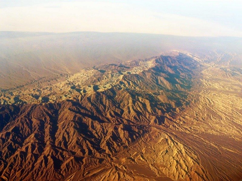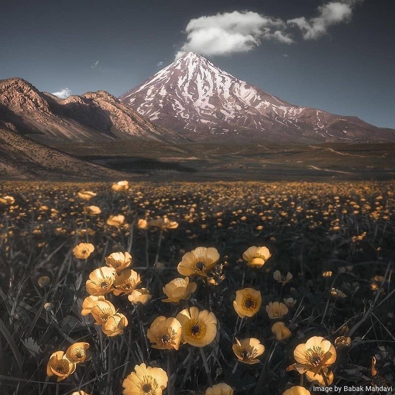
Mount Damavand is located in northern Iran. The summit height is 5,610 meters above sea level. It is also the highest peak in Iran and the highest volcanic summit in Asia and the Middle East. Mount Damavand is the first natural monument of Iran inscribed in the National Heritage List of Iran.
Damavand is located in the central part of the Alborz Mountain Range. This mountain range is located in the southern part of the Caspian Sea. According to the national divisions in Iran, Mount Damavand is located in Amol area of Mazandaran Province. As a national natural monument, Mount Damavand is one of the four valuable areas in terms of environmental protection.
Geography of Mount Damavand
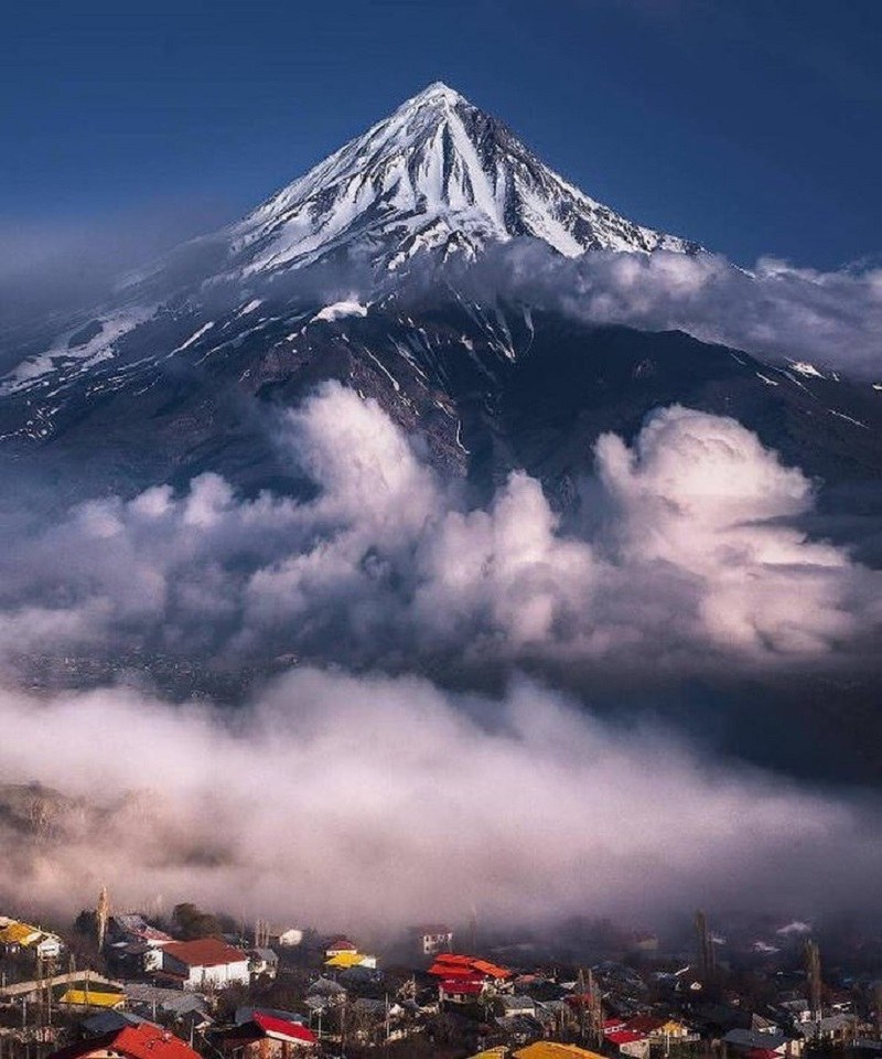
This Mount is located 26 kilometers northwest of Damavand City, 62 kilometers southwest of Amol City, and 69 kilometers northeast of Tehran City. Tineh River on the north, Haraz River on the south and east, and Lar River on the west have surrounded Damavand Mount.
The topographic prominence of Damavand (summit height toward the lowest valley) is 4,667 m. In terms of prominence, Damavand is the 12th highest summit in the world. The main reason for the visibility of Damavand from a long distance is the high prominence of Damavand. The minimum temperature in Damavand highlands is under 60 degrees in winter and under 2 degrees in summer.
The storm speed in Damavand is about 150 km/h. Most winds blow from the west and northwest. The average rainfall in the altitudes of Damavand is 1400 mm in a year. At the altitudes, it usually snows. The atmospheric pressure in Damavand is half of the atmospheric pressure at sea level.
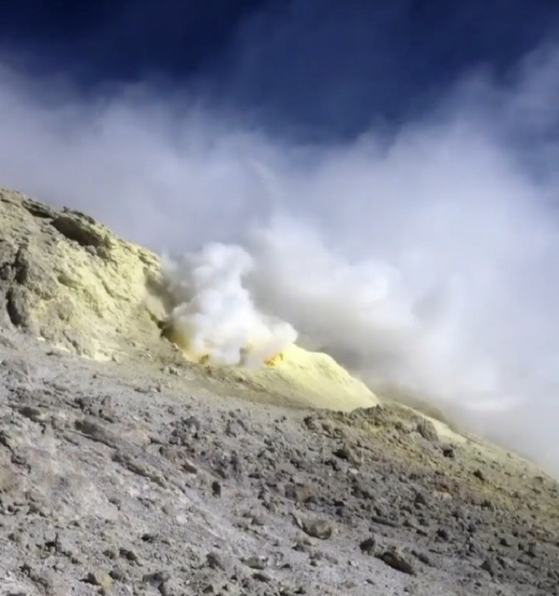
Damavand is a folded and semi-active volcanic mountain. The mountain was formed during the Holocene, the fourth geological period. The mountain is at least 38,500 years old. The several sulfur and hot springs show that Mount Damavand is a semi-active volcanic mountain. The crater diameter of this volcano is about 400 meters.
Here are the famous glaciers of Damavand:
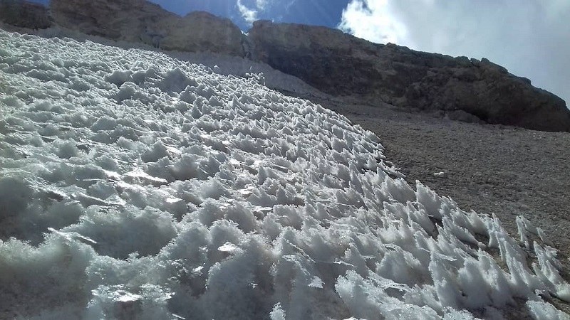
- Sioleh Glacier (North Face of Damavand)
- Dobi Sel Glacier (North Face of Damavand)
- Aroosak’ha Glacier (North Face of Damavand)
- Darreh Yakhar Glacier (Northeast Face of Damavand)
- Khurtab Sar Glacier
- Northwest Glacier
- West Glacier
In addition, there are some famous waterfalls in Damavand. Yakhi Waterfall of Damavand is one of them. The height of this waterfall is 7 meters and its diameter is 3 meters. The major feature of this waterfall is that the ice never melts there. At the top of this waterfall, there is a pit covered with snow all year long. This waterfall is 5100 meters high. In terms of altitude, it is the highest waterfall in the Middle East.
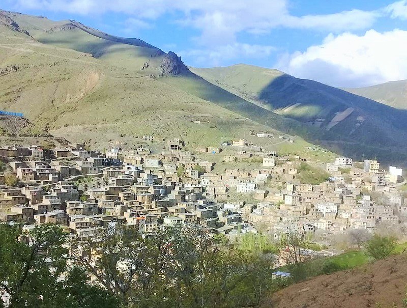
At various altitudes of Mount Damavand, numerous and varied plants grow. At an altitude of 2,000 to 3,500 meters high, poppy flowers cover the hillsides of Mount Damavand. Because of its special location, the area overlooks a forest on the north, and the mountains with the same border with a desert, on the south.
In 905, an Iranian reached the summit of Damavand as the first climber. The first climbs of Europeans reaching to the summit of Damavand was in 1627 and in the southern face of the mount.
The Main Routes to the Summit
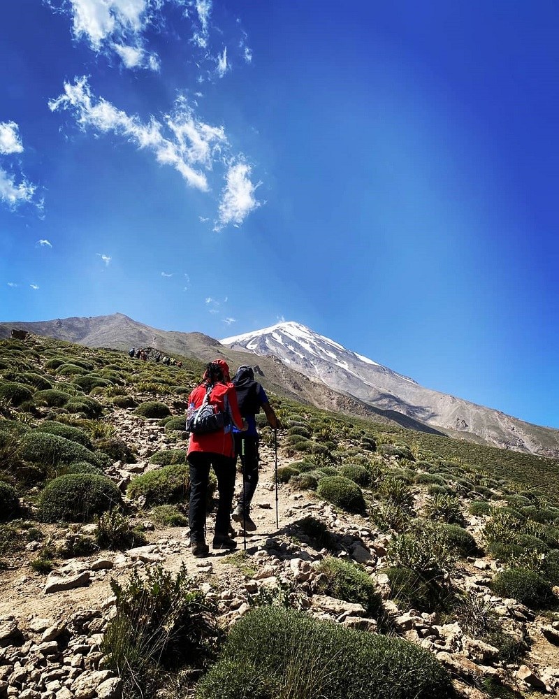
There are several routes to take to get to the top of Mount Damavand. Here are the main ones:
• Northern Face
The climbing route to this front takes place between Sioleh Glacier and Dobi Sel Glacier. This route has steep slopes at the ends, making the climbing difficult.
• Northeastern Face
This route is longer than other routes. However, the slope is milder.
• Western Face
On this route, the slope of the end of the path is relatively steep.
• Southern Face
The most common and most crowded route to reach the summit of Damavand is the southern route. The mountaineering through this route begins from a place called Dorahi (which means crossroads in Persian). The paths of this route are very clear due to the high usage. There is not also the risk of kicking the stone along this route.
The easiest of the route is the southern face and the toughest is the northern face. The three northern, southern, and northeastern faces are located near the villages and all have parapets halfway to the top. There are 7 parapets and shelters built so far on the main climbing paths of Damavand.
History of Mount Damavand
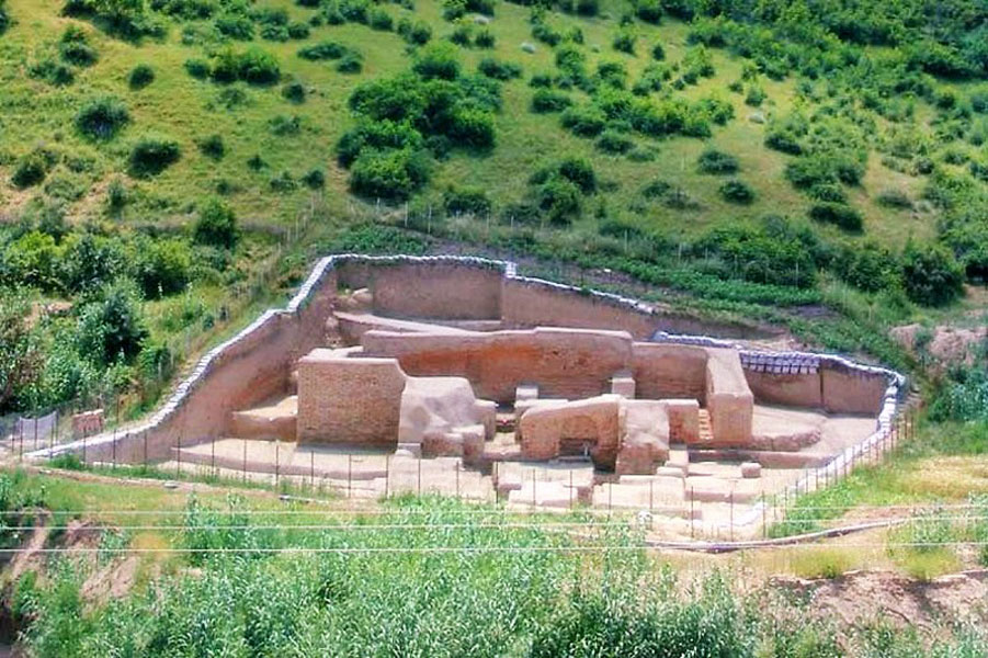
The Assyrians considered Mount Damavand the Azure rock mine. This mountain was an important part of the Medes rule. There are many pre-history graves in Damavand.
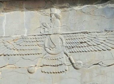
In the eighth century, there was a fortress at the foot of Mount Damavand where Zoroastrian priests lived. During the reign of the Pahlavi dynasty in Iran, the figure of Mount Damavand was designed in the middle of the official emblem of Iran. Damavand Summit is a symbol of stability in Iranian culture. This mount is a national symbol.
Damavand National Day
Iranians celebrate Damavand National Day every year on July 13th. The celebration has also reached the national record. In addition, Barf Chal (snow pit) celebration takes place in May in the rural areas of Amol City. Every year, people collect the remains of snow on the slopes of Mount Damavand in the spring dump it in a pit. This is a forecast to save enough water for the summer.
Damavand National Music
Iranians play Mount Damavand National Music on Tirgan Day, a mid-summer Iranian festival, celebrated annually on July 2, 3, or 4.
Damavand Figure
Over the past hundred years, Iranian governments have printed the figure of Damavand on or back of official Iranian banknotes.
Mount Damavand in Iranian Literature
We can see the trace of Damavand in Iranian mythology. For example, in the epic book of Shahnameh of Ferdowsi, Zahak, an evil figure in Persian mythology, was imprisoned in this mountain. Naser khosrow Qobadiani-e Balkhi has written about Damavand early in his travel book. Damavandieh, the poetry of Malek ol-Shoara-ye Bahar about Damavand is also famous.
Bal’ami mentioned in his book, entitled Tarikh-e Bal’ami, that the residence of the legendary king Keyumars, the first king of the Pishdadian dynasty of Iran, was Mount Damavand. In addition, Bal’ami noted in his book that Kay Khosrow, a legendary king of Iran of the Kianian dynasty, went to Mount Damavand after renouncing the throne and ascension to heaven. In the poems of other poets such as the “Vis and Ramin”, written by Fakhroddin As’ad Gorgani, and a poem of Khaqani, we can see the name of Damavand. The Iranian literary men have also exampled the grandeur of Damavand in their notes.
Comparison with Other Similar Attractions
Here’s a list of similar mounts:
Mount Alam (Alam Kooh)
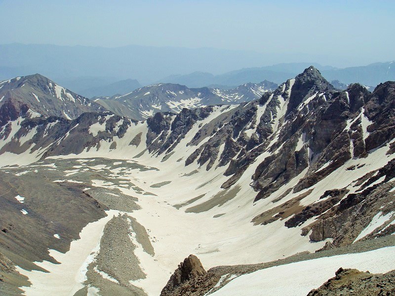
It is the second-highest mount in Iran. The altitude of its summit is 4850 meters. Mount Alam is located in Mazandaran Province in Takht-e-Soleiman region. The most important part of this mountain is a wall on its northern slope. This section is one of the most technical and difficult routes of rock climbing and wall climbing in Iran. For Iranian rock climbers, this is as difficult as Mount K2 is for the world climbers. On the north side, this mountain overlooks Kelardasht City and on the south side, it has a beautiful view of Taleqan City.
Mount Sabalan (Savalan)
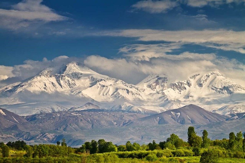
This mount is located in Ardebil Province. It ranks third among the highest mounts of Iran. Sabalan is an inactive stratovolcano in Iran. The altitude of its summit is 4,811 meters. There is a small lake at the top of this mountain. Furthermore, there are natural spas on the hillsides and foothills. According to some beliefs, Mount Sabalan was the place where God chose Zoroaster as a prophet. Hence, it is a sacred place for Iranians.
Mount Hezar
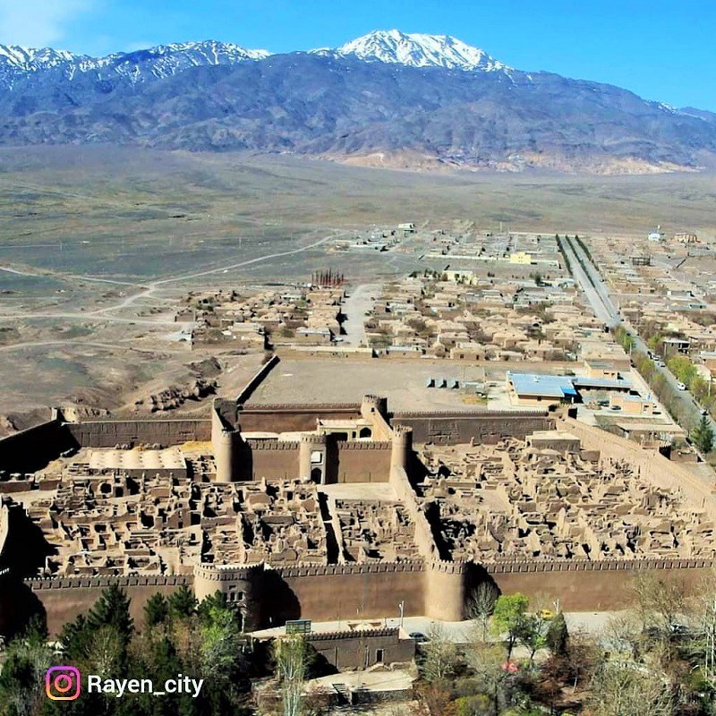
This mount is located in the Rayen District of Kerman Province. This is the highest summit of Kerman Province. As there are thousands of plant species in this mount, Iranians called it Mount Hezar (Hezar means thousand in Persian). There is also an interesting village at the altitude of 3,309 meters of this mountain.
Mount Shah
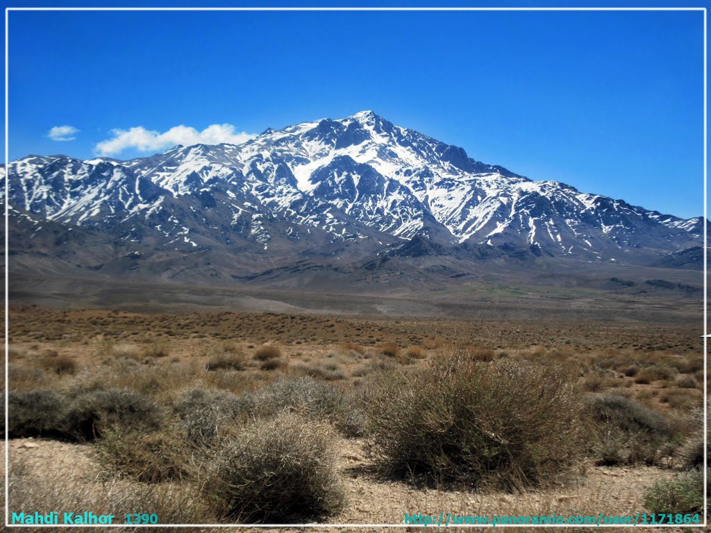
This mountain is located in Kerman Province. The height of the summit of Mount Shah is 4,351 meters. It is also one of the highest mounts in Iran. This area was a protected area during the Qajar and Safavid periods.
Mount Kholeno
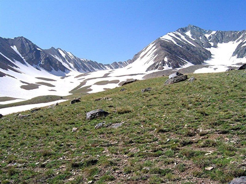
This mount is located in the central Alborz region. Its height is 4,375 meters. This summit is the main source of Varangeh Rud River. Varangeh Rud is the main source of Lake of Karaj Dam (Amir Kabir Dam).
Mian-Seh-Chal
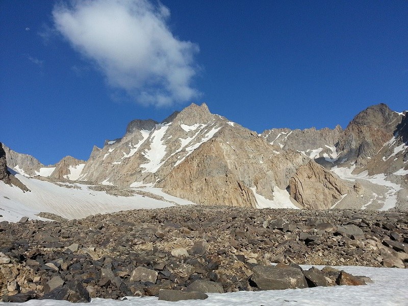
This mount is located in Takht-e Soleiman mountainous region of Mazandaran Province and Alborz Mountain Range. Its height is 4,348 meters.


